
Jubail
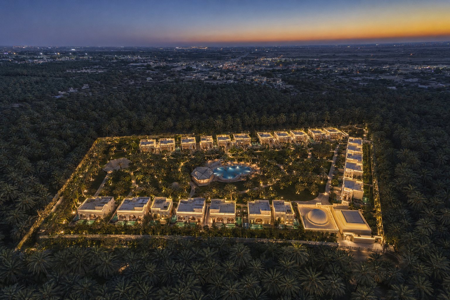
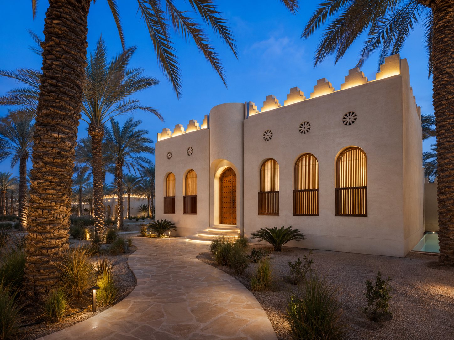
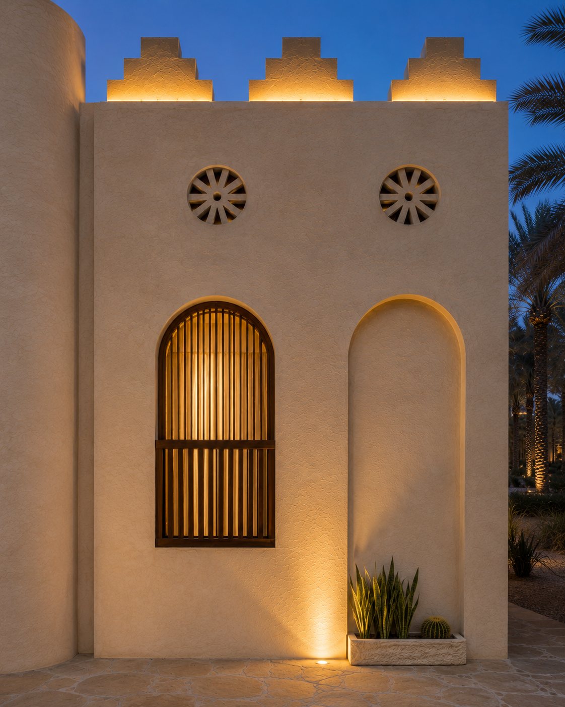
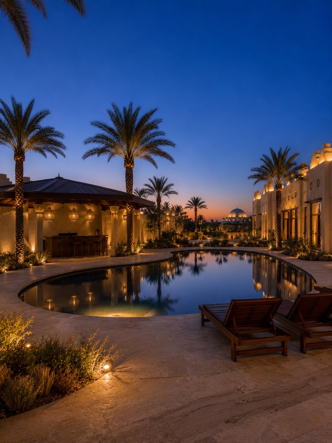
All Jubail renders + 14 villa variants ›
Locked deeds (4)
| Parcel | Area sqm | Deed # | Real Estate ID |
|---|---|---|---|
| Plot 7 (السابعة) | 2,520.74 | 532801031863 | 3281707071220001 |
| Plot 8 (الثامنة) | 2,130.44 | 332801031864 | 3281705071340001 |
| Plot 9 (التاسعة) | 2,004.45 | 732801031862 | 3281703071440001 |
| Basira (البصيرة) | 14,234.19 | 330817003270 | 3281703471600001 |
| Total | 20,889.82 | 4 deeds | All Al-Hufuf |
Active operational items
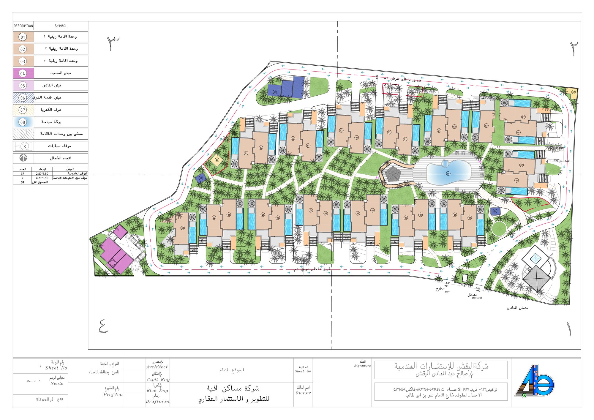
📄 Download official PDF (2.1 MB · AutoCAD 2027 plot) · stamped by Eng. Saleh Abdulhadi Al-Baqshi · license 1427 · Al-Hofuf · Imam Bin Abi Talib Street
Building programme · Sheet 6 legend
| # | Building / element | Arabic |
|---|---|---|
| 01 | Rural residence unit · Type 1 | وحدة إقامة ريفية ١ |
| 02 | Rural residence unit · Type 2 | وحدة إقامة ريفية ٢ |
| 03 | Rural residence unit · Type 3 | وحدة إقامة ريفية ٣ |
| 04 | Mosque | مبنى المسجد |
| 05 | Clubhouse | مبنى النادي |
| 06 | Housekeeping / room service | مبنى خدمة الغرف |
| 07 | Electrical rooms | غرف الكهربا |
| 08 | Swimming pool (central + per-villa) | بركة سباحة |
| — | Pedestrian paths between units · internal roads 6 m wide | مشى بين وحدات الإقامة · طريق داخلي عرض ٦م |
Parking schedule (from Sheet 6)
| Type | Stall size | Count |
|---|---|---|
| Standard parking | 2.80 × 5.50 m | 37 |
| Accessible parking (ADA) | 4.20 × 6.10 m | 2 |
| Total | — | 39 |
39 stalls for 28 villas = 1.39 stalls / villa. Anantara branded-residence benchmark is 1.5–2.0 — slight shortfall to confirm with brand-standards review.
Boundary extraction (from CUDCE master plan)
Polygon vertices read directly from the plan annotations + Abdulhadi surveyor coordinate sheets.
| Vertex | UTM East | UTM North | Lat | Lng | Source |
|---|---|---|---|---|---|
| Basira po1 (NW) | 365,757.31 | 2,811,080.40 | 25.41056°N | 49.66528°E | Abdulhadi sheet |
| Basira po17 | 365,754.21 | 2,811,078.64 | 25.41054°N | 49.66525°E | Abdulhadi sheet |
| Basira po5 | 365,725.54 | 2,810,976.06 | 25.40961°N | 49.66498°E | Abdulhadi sheet |
| Basira po6 | 365,631.15 | 2,811,022.20 | 25.41003°N | 49.66403°E | Abdulhadi sheet |
| Plot 7 po1 | 365,826.77 | 2,810,977.01 | 25.40963°N | 49.66598°E | Abdulhadi sheet |
| Plot 7 po5 | 365,800.34 | 2,810,933.52 | 25.40923°N | 49.66572°E | Abdulhadi sheet |
Full vertex set (po1–po17 Basira + Plots 7/8/9) in ~/01_Projects/Jubail/04_Legal/ · surveyor coordinate sheets
Geometric analysis (computed from polygon)
| Metric | Value | Source |
|---|---|---|
| Plot 7 area | 2,520.74 sqm | Deed 532801031863 · surveyor |
| Plot 8 area | 2,130.44 sqm | Deed 332801031864 · surveyor |
| Plot 9 area | 2,004.45 sqm | Deed 732801031862 · surveyor |
| Basira area | 14,234.19 sqm | Deed 330817003270 · surveyor |
| Total land | 20,889.82 sqm | 4-deed sum |
| Master-plan annotated area | 20,890.97 sqm | ARCH ALL.dxf text table |
| Centroid (approx) | 25.41015°N · 49.66490°E | UTM E ≈365,690 · N ≈2,811,000 |
| Bounding box (East–West) | ~310 m | 365,631 → 365,888 (Δ 257 m core + ROW) |
| Bounding box (North–South) | ~180 m | 2,810,905 → 2,811,080 |
| 15 m irrigation/drain ROW | N + S edges of Basira; S edge of Plot 7 | Surveyor sheets |
| 28-villa baseline footprint | ~5,140 sqm (24.6% cov.) | JUBAIL_CONCEPT_DESIGN_v3 |
| 30% cap headroom | ~1,127 sqm | 20,890 × 30% − 5,140 − 379 amenity |
Geometry status
SURVEYOR-STAMPEDAll 4 parcels carry surveyor-stamped polygon coordinates. Geometry is the strongest asset on this file.
| Asset | Detail | Status |
|---|---|---|
| Surveyor | Abdulhadi Surveying Office · license 1359 · عبدالهادي أحمد عبدالعدماني | STAMPED |
| Coordinate system | UTM 39N East/North + decimal-degrees Lat/Lng | EXACT |
| Polygon vs deed | Area matches deed area to 0.01 sqm | VERIFIED |
| Approx envelope | UTM E ~365,600–365,900 · N ~2,810,900–2,811,090 · ~25.41°N, 49.66°E | EXACT |
| ARCH ALL.dwg | 19.9 MB · CUDCE Apr 2026 | PRESENT |
| CUDCE-stamped 28-villa sheet | — | PENDING |
| 52,032 / 61,215 sqm figures | From other DXF tables — unreconciled vs deed-sum | CONFLICT |
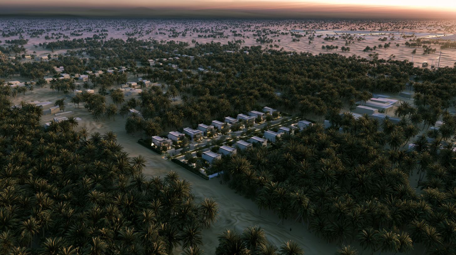
Top renders · v3.1 MJ-locked
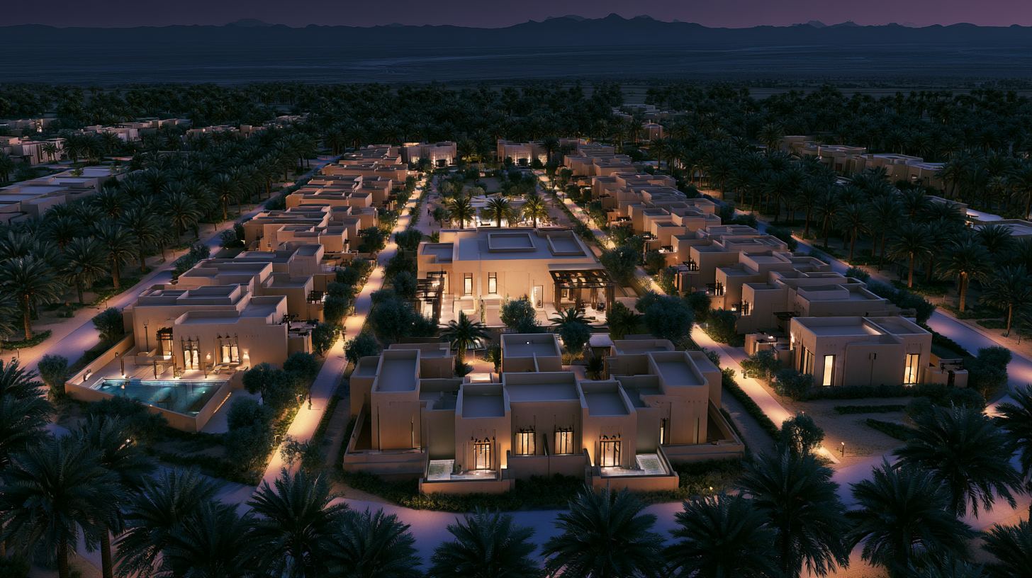
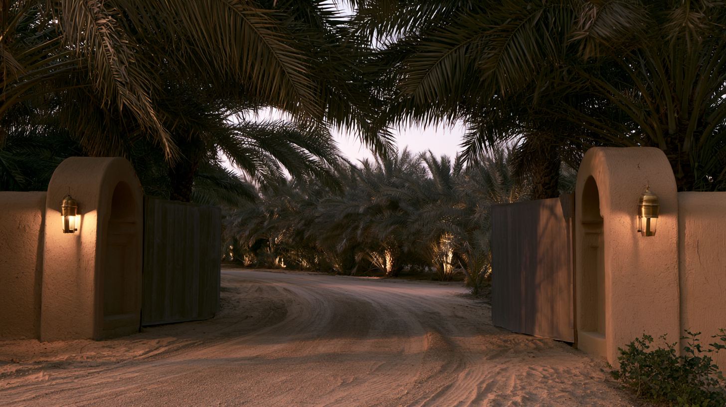
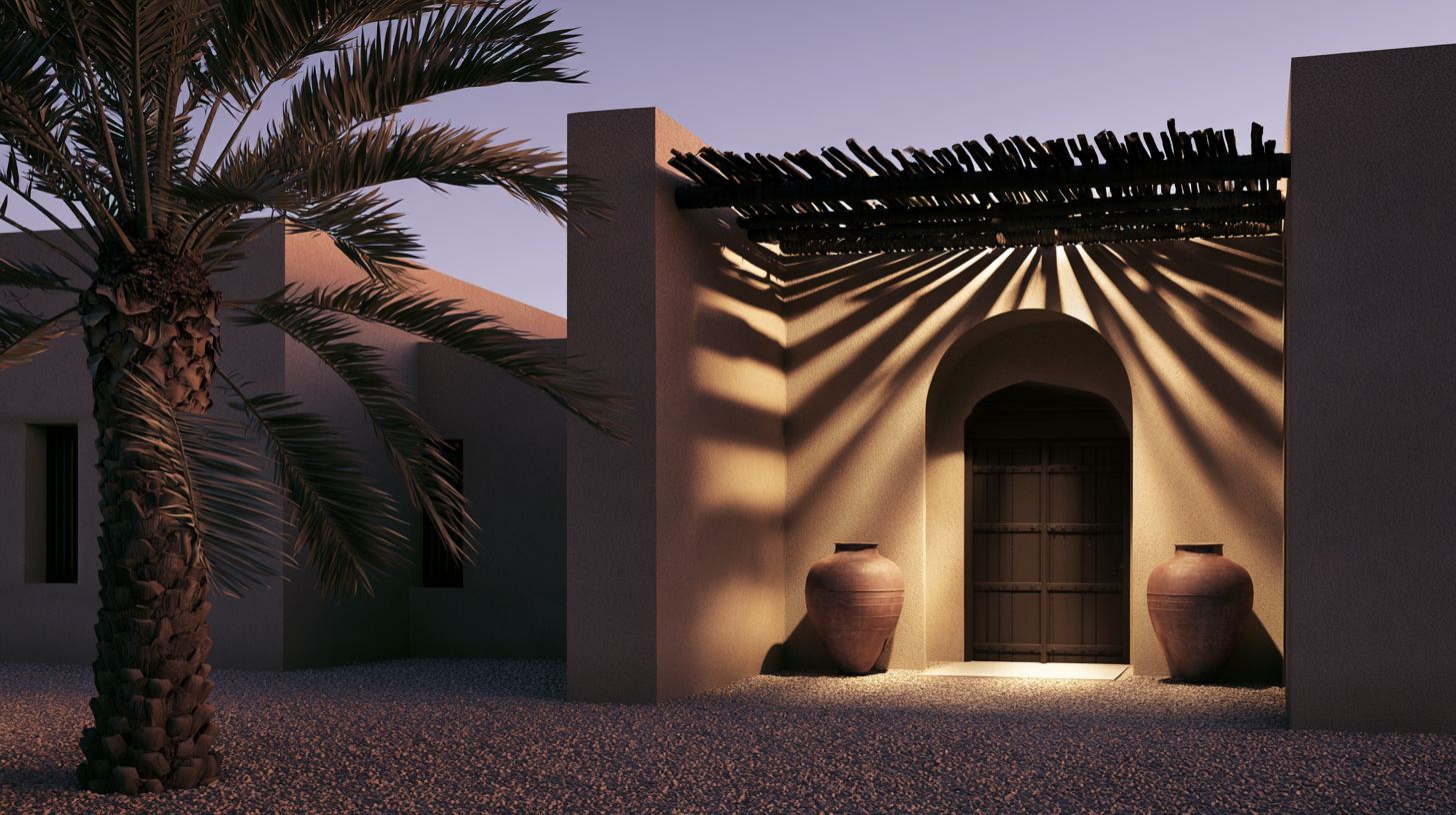
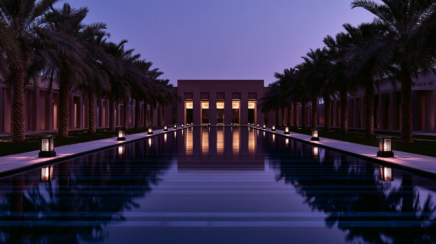
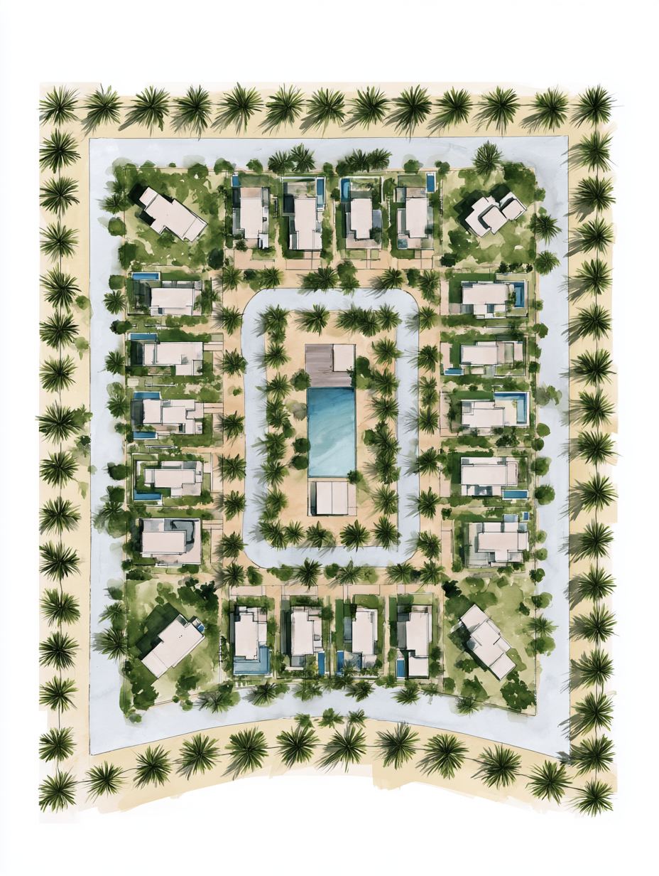
Architectural language matches Juatha (Anantara typology · palm-grove cluster). Masterplan layout differs — Jubail = 28-villa palm-court geometry on surveyor-stamped polygon. Click any tile for full size.
Latest distribution material
| Version | File | Status |
|---|---|---|
| v3.6 EXPERT APPROVED (current) | ~/CEO-Hub/00_CEO/_Shared/Brochures/Anantara/FINAL/Anantara_Jubail_Catalog_v3.6_EXPERT_APPROVED_EN_AR.pdf |
FINAL |
| v3.5 | v3.5/Anantara_Jubail_Catalog_v3.5_EN_AR.pdf |
SUPERSEDED |
| v2.2 | Brochures/Anantara/Anantara_Jubail_Brochure_v2.2.pdf |
SUPERSEDED |
v3.6 = 28-villa inland Al-Jubayl identity locked · disambiguation kept (Al-Jubayl Al-Ahsa, not coastal Jubail).
Google Maps pin (CEO-supplied): 25.4100514, 49.6652359 · Plus Code CM68+23H Al Jubayl
Source-of-truth feeds
~/01_Projects/Jubail/03_Design/ · surveyor polygons by Abdulhadi Surveying (license 1359)~/01_Projects/Jubail/04_Legal/ (4 deeds + 4 surveyor coordinate sheets already on disk)